
泗渡镇 topographic map
Interactive map
Click on the map to display elevation.
About this map
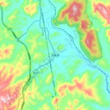
Name: 泗渡镇 topographic map, elevation, terrain.
Location: 泗渡镇, 遵义市, 贵州省, 中国 (27.87688 106.89352 27.95688 106.97352)
Average elevation: 1,019 m
Minimum elevation: 856 m
Maximum elevation: 1,349 m
Other topographic maps
Click on a map to view its topography, its elevation and its terrain.