
宫村镇 topographic map
Interactive map
Click on the map to display elevation.
About this map
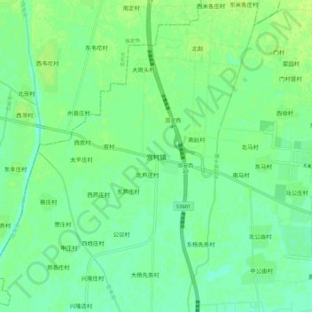
Name: 宫村镇 topographic map, elevation, terrain.
Location: 宫村镇, 廊坊市, 河北省, 中国 (39.42669 116.14392 39.50669 116.22392)
Average elevation: 28 m
Minimum elevation: 21 m
Maximum elevation: 34 m
Other topographic maps
Click on a map to view its topography, its elevation and its terrain.