
九州镇 topographic map
Interactive map
Click on the map to display elevation.
About this map
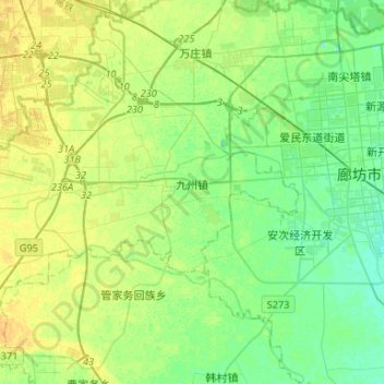
Name: 九州镇 topographic map, elevation, terrain.
Location: 九州镇, 广阳区, 廊坊市, 河北省, 中国 (39.45197 116.39521 39.55344 116.65764)
Average elevation: 21 m
Minimum elevation: 12 m
Maximum elevation: 31 m
Other topographic maps
Click on a map to view its topography, its elevation and its terrain.