
南尖塔镇 topographic map
Interactive map
Click on the map to display elevation.
About this map
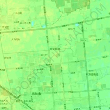
Name: 南尖塔镇 topographic map, elevation, terrain.
Location: 南尖塔镇, 广阳区, 廊坊市, 河北省, 中国 (39.53159 116.62871 39.58961 116.71742)
Average elevation: 18 m
Minimum elevation: 9 m
Maximum elevation: 22 m