
南水北调东线 topographic map
Interactive map
Click on the map to display elevation.
About this map
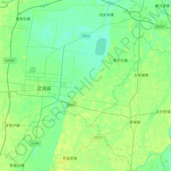
Name: 南水北调东线 topographic map, elevation, terrain.
Location: 南水北调东线, 德州市, 山东省, 中国 (37.07017 116.09202 37.35295 116.24621)
Average elevation: 27 m
Minimum elevation: 21 m
Maximum elevation: 33 m
Other topographic maps
Click on a map to view its topography, its elevation and its terrain.