
马颊河 topographic map
Interactive map
Click on the map to display elevation.
About this map
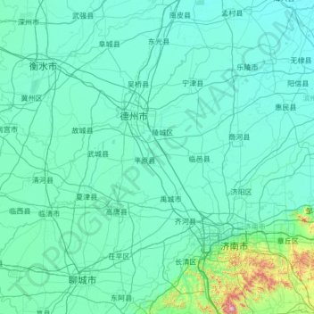
Name: 马颊河 topographic map, elevation, terrain.
Location: 马颊河, 德州市, 陵城区, 山东省, 253500, 中国 (36.22734 115.47715 38.12207 117.82635)
Average elevation: 53 m
Minimum elevation: 3 m
Maximum elevation: 1,399 m
Other topographic maps
Click on a map to view its topography, its elevation and its terrain.