
果里村 topographic map
Interactive map
Click on the map to display elevation.
About this map
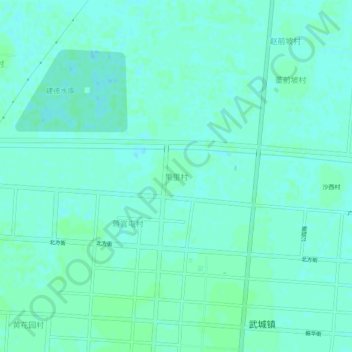
Name: 果里村 topographic map, elevation, terrain.
Location: 果里村, 德州市, 山东省, 253300, 中国 (37.20834 116.05163 37.24834 116.09163)
Average elevation: 26 m
Minimum elevation: 23 m
Maximum elevation: 28 m
Other topographic maps
Click on a map to view its topography, its elevation and its terrain.