
文昌街道 topographic map
Interactive map
Click on the map to display elevation.
About this map
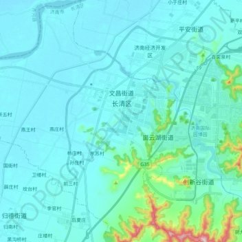
Name: 文昌街道 topographic map, elevation, terrain.
Location: 文昌街道, 长清区, 济南市, 山东省, 250300, 中国 (36.47417 116.64599 36.61263 116.78531)
Average elevation: 66 m
Minimum elevation: 28 m
Maximum elevation: 401 m
Other topographic maps
Click on a map to view its topography, its elevation and its terrain.