
长清城市中央公园 topographic map
Interactive map
Click on the map to display elevation.
About this map
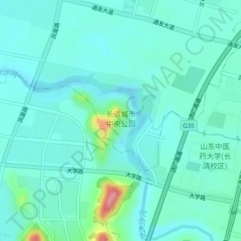
Name: 长清城市中央公园 topographic map, elevation, terrain.
Location: 长清城市中央公园, 平安街道, 长清区, 济南市, 山东省, 250300, 中国 (36.55567 116.76979 36.56932 116.78806)
Average elevation: 53 m
Minimum elevation: 34 m
Maximum elevation: 142 m
Other topographic maps
Click on a map to view its topography, its elevation and its terrain.