
济西国家湿地公园 topographic map
Interactive map
Click on the map to display elevation.
About this map
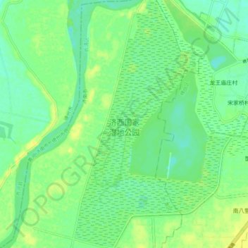
Name: 济西国家湿地公园 topographic map, elevation, terrain.
Location: 济西国家湿地公园, 长清区, 济南市, 山东省, 250300, 中国 (36.62698 116.77238 36.69401 116.82548)
Average elevation: 33 m
Minimum elevation: 24 m
Maximum elevation: 42 m
Other topographic maps
Click on a map to view its topography, its elevation and its terrain.