
雅家埂 topographic map
Interactive map
Click on the map to display elevation.
About this map
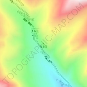
Name: 雅家埂 topographic map, elevation, terrain.
Location: 雅家埂, 泸定县, 甘孜藏族自治州, 四川省, 中国 (29.87874 102.02329 29.87884 102.02339)
Average elevation: 3,789 m
Minimum elevation: 3,449 m
Maximum elevation: 4,210 m
Other topographic maps
Click on a map to view its topography, its elevation and its terrain.