
丹江镇 topographic map
Interactive map
Click on the map to display elevation.
About this map
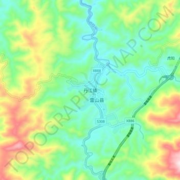
Name: 丹江镇 topographic map, elevation, terrain.
Location: 丹江镇, 雷山县, 黔东南苗族侗族自治州, 贵州省, 中国 (26.34690 108.03200 26.42690 108.11200)
Average elevation: 994 m
Minimum elevation: 785 m
Maximum elevation: 1,441 m
Other topographic maps
Click on a map to view its topography, its elevation and its terrain.