
方祥乡 topographic map
Interactive map
Click on the map to display elevation.
About this map
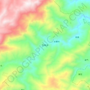
Name: 方祥乡 topographic map, elevation, terrain.
Location: 方祥乡, 雷山县, 黔东南苗族侗族自治州, 贵州省, 中国 (26.40128 108.23504 26.48128 108.31504)
Average elevation: 1,268 m
Minimum elevation: 763 m
Maximum elevation: 2,038 m
Other topographic maps
Click on a map to view its topography, its elevation and its terrain.