
大塘乡 topographic map
Interactive map
Click on the map to display elevation.
About this map
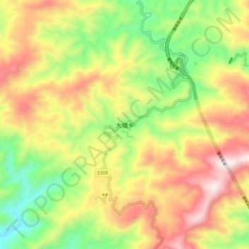
Name: 大塘乡 topographic map, elevation, terrain.
Location: 大塘乡, 雷山县, 黔东南苗族侗族自治州, 贵州省, 中国 (26.28304 108.02370 26.36304 108.10370)
Average elevation: 1,095 m
Minimum elevation: 632 m
Maximum elevation: 1,613 m
Other topographic maps
Click on a map to view its topography, its elevation and its terrain.