
西江镇 topographic map
Interactive map
Click on the map to display elevation.
About this map
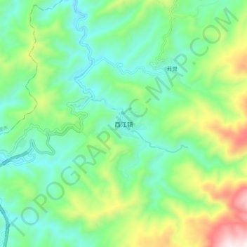
Name: 西江镇 topographic map, elevation, terrain.
Location: 西江镇, 雷山县, 黔东南苗族侗族自治州, 贵州省, 中国 (26.45650 108.12900 26.53650 108.20900)
Average elevation: 1,063 m
Minimum elevation: 757 m
Maximum elevation: 1,800 m
Other topographic maps
Click on a map to view its topography, its elevation and its terrain.