
吉安县 topographic map
Interactive map
Click on the map to display elevation.
About this map
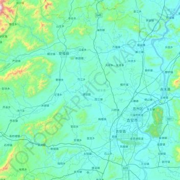
Name: 吉安县 topographic map, elevation, terrain.
Location: 吉安县, 吉安市, 江西省, 中国 (26.82234 114.41338 27.63212 115.05770)
Average elevation: 164 m
Minimum elevation: 28 m
Maximum elevation: 1,690 m
Other topographic maps
Click on a map to view its topography, its elevation and its terrain.