
夏溪村 topographic map
Interactive map
Click on the map to display elevation.
About this map
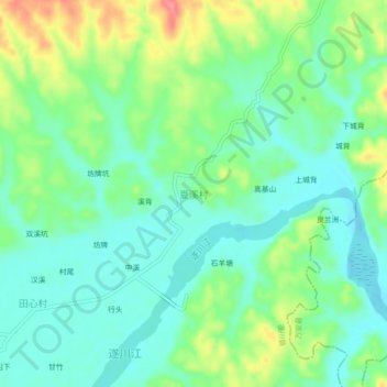
Name: 夏溪村 topographic map, elevation, terrain.
Location: 夏溪村, 吉安市, 江西省, 中国 (26.40881 114.61570 26.44881 114.65570)
Average elevation: 100 m
Minimum elevation: 74 m
Maximum elevation: 153 m
Other topographic maps
Click on a map to view its topography, its elevation and its terrain.