
安康乡 topographic map
Interactive map
Click on the map to display elevation.
About this map
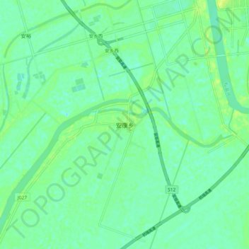
Name: 安康乡 topographic map, elevation, terrain.
Location: 安康乡, 常德市, 湖南省, 中国 (29.32470 112.08600 29.40470 112.16600)
Average elevation: 33 m
Minimum elevation: 26 m
Maximum elevation: 42 m
Other topographic maps
Click on a map to view its topography, its elevation and its terrain.