
津市市 topographic map
Interactive map
Click on the map to display elevation.
About this map
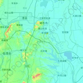
Name: 津市市 topographic map, elevation, terrain.
Location: 津市市, 常德市, 湖南省, 中国 (29.28131 111.76557 29.73336 112.03926)
Average elevation: 50 m
Minimum elevation: 25 m
Maximum elevation: 358 m
Other topographic maps
Click on a map to view its topography, its elevation and its terrain.