
幸福街道 topographic map
Interactive map
Click on the map to display elevation.
About this map
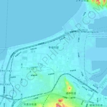
Name: 幸福街道 topographic map, elevation, terrain.
Location: 幸福街道, 芝罘区, 烟台市, 山东省, 264000, 中国 (37.55000 121.30107 37.59610 121.39262)
Average elevation: 8 m
Minimum elevation: -2 m
Maximum elevation: 140 m
Other topographic maps
Click on a map to view its topography, its elevation and its terrain.