
黄务街道 topographic map
Interactive map
Click on the map to display elevation.
About this map
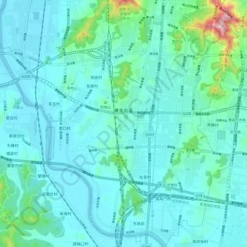
Name: 黄务街道 topographic map, elevation, terrain.
Location: 黄务街道, 芝罘区, 烟台市, 山东省, 264000, 中国 (37.41456 121.30435 37.50954 121.39257)
Average elevation: 52 m
Minimum elevation: -2 m
Maximum elevation: 390 m
Other topographic maps
Click on a map to view its topography, its elevation and its terrain.