
凤凰台街道 topographic map
Interactive map
Click on the map to display elevation.
About this map
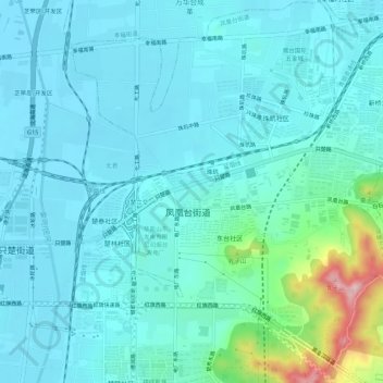
Name: 凤凰台街道 topographic map, elevation, terrain.
Location: 凤凰台街道, 芝罘区, 烟台市, 山东省, 264000, 中国 (37.51933 121.30540 37.56249 121.35591)
Average elevation: 35 m
Minimum elevation: -1 m
Maximum elevation: 233 m