
西董楼 topographic map
Interactive map
Click on the map to display elevation.
About this map
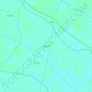
Name: 西董楼 topographic map, elevation, terrain.
Location: 西董楼, 商丘市, 河南省, 中国 (34.02237 116.11612 34.06237 116.15612)
Average elevation: 39 m
Minimum elevation: 36 m
Maximum elevation: 42 m
Other topographic maps
Click on a map to view its topography, its elevation and its terrain.