
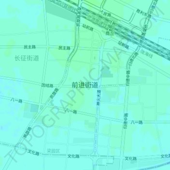
前进街道 topographic map
Interactive map
Click on the map to display elevation.
About this map
Name: 前进街道 topographic map, elevation, terrain.
Location: 前进街道, 梁园区, 商丘市, 河南省, 中国 (34.42551 115.63395 34.44806 115.65758)
Average elevation: 53 m
Minimum elevation: 50 m
Maximum elevation: 55 m