
扁担沟镇 topographic map
Interactive map
Click on the map to display elevation.
About this map
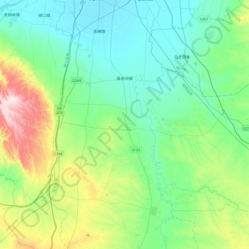
Name: 扁担沟镇 topographic map, elevation, terrain.
Location: 扁担沟镇, 利通区, 吴忠市, 宁夏回族自治区, 中国 (37.59406 106.11913 37.86450 106.58703)
Average elevation: 1,275 m
Minimum elevation: 1,126 m
Maximum elevation: 1,772 m
Other topographic maps
Click on a map to view its topography, its elevation and its terrain.