
高增乡 topographic map
Interactive map
Click on the map to display elevation.
About this map
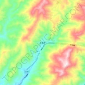
Name: 高增乡 topographic map, elevation, terrain.
Location: 高增乡, 从江县, 黔东南苗族侗族自治州, 贵州省, 中国 (25.76298 108.89805 25.84298 108.97805)
Average elevation: 538 m
Minimum elevation: 194 m
Maximum elevation: 998 m
Other topographic maps
Click on a map to view its topography, its elevation and its terrain.