
丙妹镇 topographic map
Interactive map
Click on the map to display elevation.
About this map
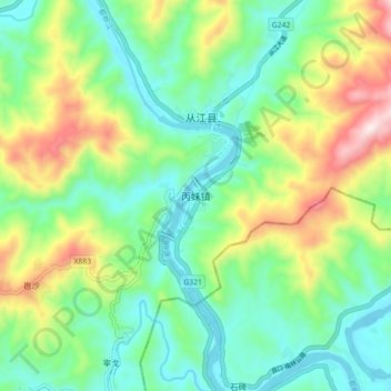
Name: 丙妹镇 topographic map, elevation, terrain.
Location: 丙妹镇, 从江县, 黔东南苗族侗族自治州, 贵州省, 中国 (25.70084 108.86235 25.78084 108.94235)
Average elevation: 355 m
Minimum elevation: 164 m
Maximum elevation: 764 m
Other topographic maps
Click on a map to view its topography, its elevation and its terrain.