
从江县 topographic map
Interactive map
Click on the map to display elevation.
About this map
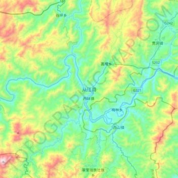
Name: 从江县 topographic map, elevation, terrain.
Location: 从江县, 黔东南苗族侗族自治州, 贵州省, 中国 (25.59691 108.74361 25.91691 109.06361)
Average elevation: 524 m
Minimum elevation: 156 m
Maximum elevation: 1,504 m
Other topographic maps
Click on a map to view its topography, its elevation and its terrain.