
果都镇 topographic map
Interactive map
Click on the map to display elevation.
About this map
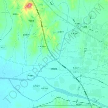
Name: 果都镇 topographic map, elevation, terrain.
Location: 果都镇, 新泰市, 泰安市, 山东省, 271200, 中国 (35.92483 117.44624 36.01281 117.56621)
Average elevation: 156 m
Minimum elevation: 133 m
Maximum elevation: 275 m
Other topographic maps
Click on a map to view its topography, its elevation and its terrain.