
新泰市 topographic map
Interactive map
Click on the map to display elevation.
About this map
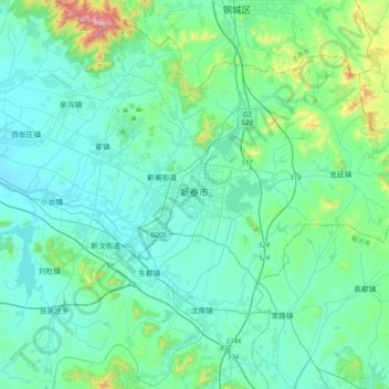
Name: 新泰市 topographic map, elevation, terrain.
Location: 新泰市, 泰安市, 新泰市, 山东省, 271200, 中国 (35.74686 117.60243 36.06686 117.92243)
Average elevation: 266 m
Minimum elevation: 148 m
Maximum elevation: 985 m
Other topographic maps
Click on a map to view its topography, its elevation and its terrain.