
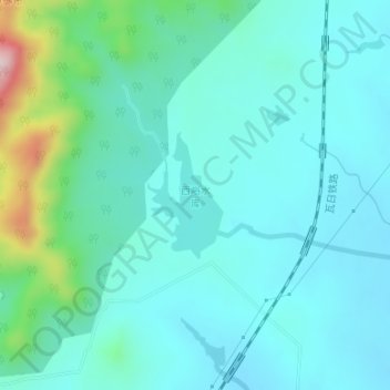
西峪水库 topographic map
Interactive map
Click on the map to display elevation.
About this map
Name: 西峪水库 topographic map, elevation, terrain.
Location: 西峪水库, 天宝镇, 新泰市, 泰安市, 山东省, 271200, 中国 (36.00661 117.42258 36.01545 117.42907)
Average elevation: 221 m
Minimum elevation: 165 m
Maximum elevation: 480 m