
东都镇 topographic map
Interactive map
Click on the map to display elevation.
About this map
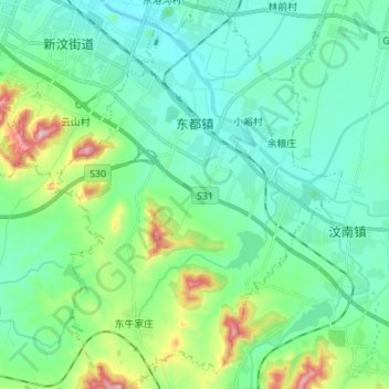
Name: 东都镇 topographic map, elevation, terrain.
Location: 东都镇, 新泰市, 泰安市, 山东省, 271200, 中国 (35.76685 117.66468 35.87753 117.76793)
Average elevation: 234 m
Minimum elevation: 159 m
Maximum elevation: 503 m
Other topographic maps
Click on a map to view its topography, its elevation and its terrain.