
平地镇 topographic map
Interactive map
Click on the map to display elevation.
About this map
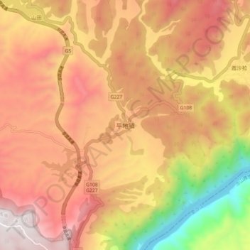
Name: 平地镇 topographic map, elevation, terrain.
Location: 平地镇, 攀枝花市, 四川省, 中国 (26.16144 101.78998 26.24144 101.86998)
Average elevation: 1,777 m
Minimum elevation: 936 m
Maximum elevation: 2,352 m
Other topographic maps
Click on a map to view its topography, its elevation and its terrain.