
红果 topographic map
Interactive map
Click on the map to display elevation.
About this map
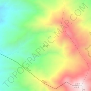
Name: 红果 topographic map, elevation, terrain.
Location: 红果, 攀枝花市, 四川省, 中国 (26.77170 101.47392 26.81170 101.51392)
Average elevation: 1,950 m
Minimum elevation: 1,447 m
Maximum elevation: 2,582 m