
安昌镇 topographic map
Interactive map
Click on the map to display elevation.
About this map
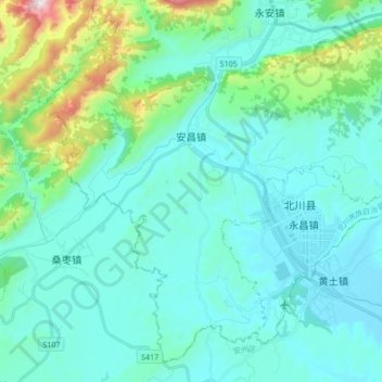
Name: 安昌镇 topographic map, elevation, terrain.
Location: 安昌镇, 北川羌族自治县, 绵阳市, 四川省, 中国 (31.55982 104.35147 31.68837 104.52060)
Average elevation: 720 m
Minimum elevation: 531 m
Maximum elevation: 1,760 m
Other topographic maps
Click on a map to view its topography, its elevation and its terrain.