
小蜀山分干渠 topographic map
Interactive map
Click on the map to display elevation.
About this map
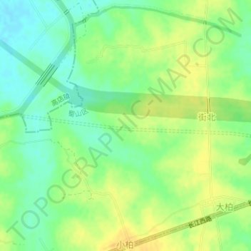
Name: 小蜀山分干渠 topographic map, elevation, terrain.
Location: 小蜀山分干渠, 小庙镇, 蜀山区, 合肥市, 安徽省, 中国 (31.83537 116.91896 31.83752 116.94793)
Average elevation: 54 m
Minimum elevation: 40 m
Maximum elevation: 67 m
Other topographic maps
Click on a map to view its topography, its elevation and its terrain.