
小庙镇 topographic map
Interactive map
Click on the map to display elevation.
About this map
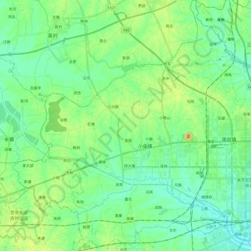
Name: 小庙镇 topographic map, elevation, terrain.
Location: 小庙镇, 蜀山区, 合肥市, 安徽省, 中国 (31.76504 116.89131 31.96495 117.09540)
Average elevation: 48 m
Minimum elevation: 13 m
Maximum elevation: 153 m
Other topographic maps
Click on a map to view its topography, its elevation and its terrain.