
荷叶地街道 topographic map
Interactive map
Click on the map to display elevation.
About this map
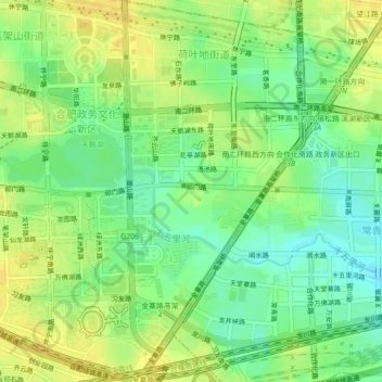
Name: 荷叶地街道 topographic map, elevation, terrain.
Location: 荷叶地街道, 合肥政务文化新区, 蜀山区, 合肥市, 安徽省, 230031, 中国 (31.79201 117.21677 31.82917 117.24667)
Average elevation: 34 m
Minimum elevation: 20 m
Maximum elevation: 46 m
Other topographic maps
Click on a map to view its topography, its elevation and its terrain.