
六都乡 topographic map
Interactive map
Click on the map to display elevation.
About this map
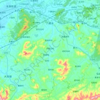
Name: 六都乡 topographic map, elevation, terrain.
Location: 六都乡, 玉山县, 上饶市, 江西省, 中国 (28.53163 118.22619 28.67867 118.40174)
Average elevation: 156 m
Minimum elevation: 83 m
Maximum elevation: 496 m
Other topographic maps
Click on a map to view its topography, its elevation and its terrain.