
仓坞村 topographic map
Interactive map
Click on the map to display elevation.
About this map
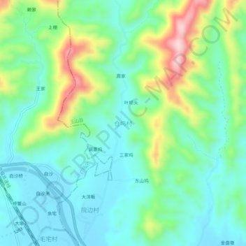
Name: 仓坞村 topographic map, elevation, terrain.
Location: 仓坞村, 临湖镇, 玉山县, 上饶市, 江西省, 中国 (28.66361 117.92630 28.70361 117.96630)
Average elevation: 190 m
Minimum elevation: 108 m
Maximum elevation: 396 m