
后官寨镇 topographic map
Interactive map
Click on the map to display elevation.
About this map
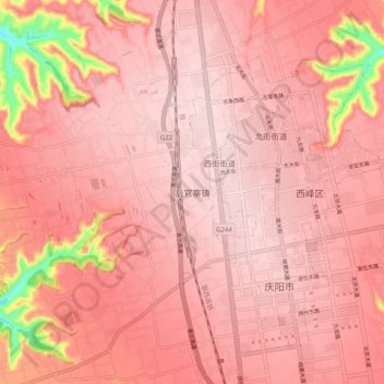
Name: 后官寨镇 topographic map, elevation, terrain.
Location: 后官寨镇, 西峰区, 庆阳市, 甘肃省, 中国 (35.69011 107.57606 35.77011 107.65606)
Average elevation: 1,378 m
Minimum elevation: 1,175 m
Maximum elevation: 1,425 m
Other topographic maps
Click on a map to view its topography, its elevation and its terrain.