
庆阳市 topographic map
Interactive map
Click on the map to display elevation.
About this map
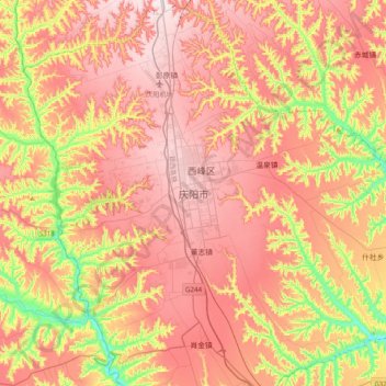
Name: 庆阳市 topographic map, elevation, terrain.
Location: 庆阳市, 西峰区, 庆阳市, 甘肃省, 中国 (35.55061 107.47843 35.87061 107.79843)
Average elevation: 1,268 m
Minimum elevation: 1,010 m
Maximum elevation: 1,456 m
Other topographic maps
Click on a map to view its topography, its elevation and its terrain.