
大同村 topographic map
Interactive map
Click on the map to display elevation.
About this map
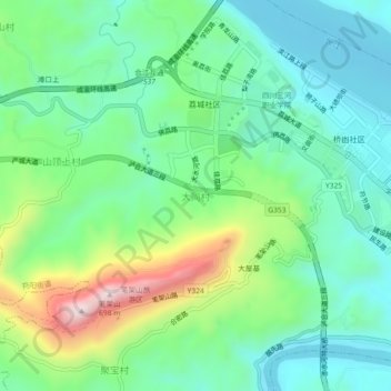
Name: 大同村 topographic map, elevation, terrain.
Location: 大同村, 合江县, 泸州市, 四川省, 646200, 中国 (28.80315 105.77466 28.84315 105.81466)
Average elevation: 335 m
Minimum elevation: 198 m
Maximum elevation: 673 m
Other topographic maps
Click on a map to view its topography, its elevation and its terrain.