
九支镇 topographic map
Interactive map
Click on the map to display elevation.
About this map
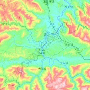
Name: 九支镇 topographic map, elevation, terrain.
Location: 九支镇, 合江县, 泸州市, 四川省, 中国 (28.45632 105.52648 28.67363 105.73345)
Average elevation: 457 m
Minimum elevation: 214 m
Maximum elevation: 1,014 m
Other topographic maps
Click on a map to view its topography, its elevation and its terrain.