
福禄山 topographic map
Interactive map
Click on the map to display elevation.
About this map
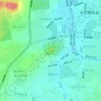
Name: 福禄山 topographic map, elevation, terrain.
Location: 福禄山, 烟台市, 山东省, 264000, 中国 (37.16568 119.91658 37.16578 119.91668)
Average elevation: 53 m
Minimum elevation: 32 m
Maximum elevation: 133 m
Other topographic maps
Click on a map to view its topography, its elevation and its terrain.