
围子山 topographic map
Interactive map
Click on the map to display elevation.
About this map
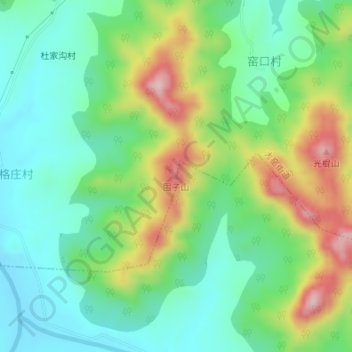
Name: 围子山 topographic map, elevation, terrain.
Location: 围子山, 烟台市, 山东省, 264000, 中国 (37.34224 121.65894 37.34234 121.65904)
Average elevation: 107 m
Minimum elevation: 21 m
Maximum elevation: 273 m
Other topographic maps
Click on a map to view its topography, its elevation and its terrain.