
东于家村 topographic map
Interactive map
Click on the map to display elevation.
About this map
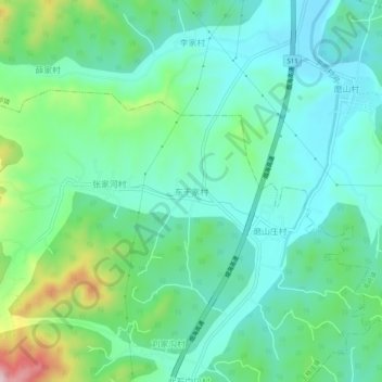
Name: 东于家村 topographic map, elevation, terrain.
Location: 东于家村, 烟台市, 山东省, 264000, 中国 (37.20616 121.40987 37.24616 121.44987)
Average elevation: 160 m
Minimum elevation: 79 m
Maximum elevation: 403 m
Other topographic maps
Click on a map to view its topography, its elevation and its terrain.