
黄花镇 topographic map
Interactive map
Click on the map to display elevation.
About this map
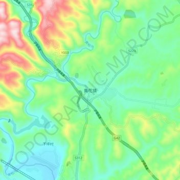
Name: 黄花镇 topographic map, elevation, terrain.
Location: 黄花镇, 宜昌市, 湖北省, 中国 (30.81892 111.33630 30.89892 111.41630)
Average elevation: 232 m
Minimum elevation: 78 m
Maximum elevation: 599 m
Other topographic maps
Click on a map to view its topography, its elevation and its terrain.