
杨林桥镇 topographic map
Interactive map
Click on the map to display elevation.
About this map
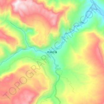
Name: 杨林桥镇 topographic map, elevation, terrain.
Location: 杨林桥镇, 宜昌市, 湖北省, 中国 (30.70814 110.71727 30.78814 110.79727)
Average elevation: 859 m
Minimum elevation: 258 m
Maximum elevation: 1,541 m
Other topographic maps
Click on a map to view its topography, its elevation and its terrain.