
鼓楼街道 topographic map
Interactive map
Click on the map to display elevation.
About this map
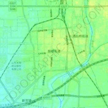
Name: 鼓楼街道 topographic map, elevation, terrain.
Location: 鼓楼街道, 兖州区, 济宁市, 山东省, 中国 (35.51956 116.80863 35.58087 116.83377)
Average elevation: 51 m
Minimum elevation: 44 m
Maximum elevation: 58 m
Other topographic maps
Click on a map to view its topography, its elevation and its terrain.